Home | Table of Contents | Forts | Road Trip Maps | Blood Trail Maps | Links | PX and Library | Contact Us | Mail Bag | Search | Intro | Upcoming Events | Reader's Road Trips
Fort Tours Systems - Founded by Rick Steed Email: info@forttours.org

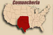
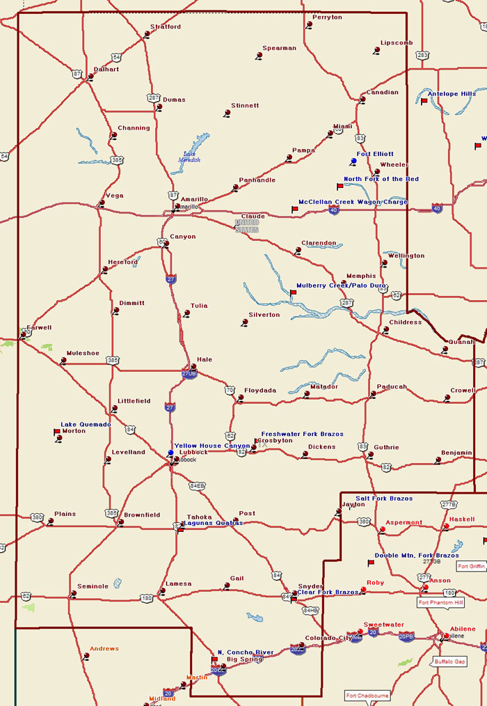
 Texas Plains Trail Region