|
||||
|
|
||||
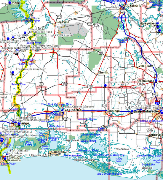
AcadiaPouppevilleNamed for the merchant Jules Pouppeville and dating back to the 1850s. Pouppeville was once a stagecoach stop. The town was disassembled, carried north by oxen one mile to meet the railroad, & rebuilt at Rayne Station in 1881. Located in Rayne, Acadia Parish. Salmon Lusk Wright (1852-1929)Developed at this site the world’s best seed rice which revived that industry by insuring wider markets. His varieties that are used today for breeding purposes are Blue Rose, Louisiana Pearl, Early Prolific Edith, and Lady Wright. Located in Crowley, District 3, Rice Festival, Acadia Parish. CalcasieuLake CharlesChief city of Calcasieu Parish. Here Buccaneer Laffite delivered stolen negro slaves to James Bowie and other planters. Calcasieu is Indian dialect for Crying Eagle war chief of the Atakapa. Located in Lake Charles, LA, Dist. 58, Hwy 90, Calcasieu Parish. Perkins FerryIn the 1820s about two miles from here on Calcasieu River, Rees Perkins operated one of the first ferries in this parish; a popular cattle crossing enroute from Mexico and Texas to the Teche lands and New Orleans. Located in Lake Charles, District 7, Hwy 171, Parish. Calcasieu Parish. Jefferson DavisCoushatta IndiansThree miles north is tribe that migrated, 1795, to Louisiana from Alabama. Name means White Reedbrake and Coushatta, town in Red River Parish named for them. Noted for basket handicraft. Located in Elton, LA, Dist. 7, Hwy 190, Jefferson Davis Parish. |
||||
|
||||